
American Geospatial delivers high-precision geospatial data to help clients map, manage, and protect critical infrastructure. We turn complex data into clear, actionable insight-transforming how organizations use geospatial information to make better decisions.
Leading the Future of Geospatial Intelligence
Geospatial Data Solutions for These Applications and More

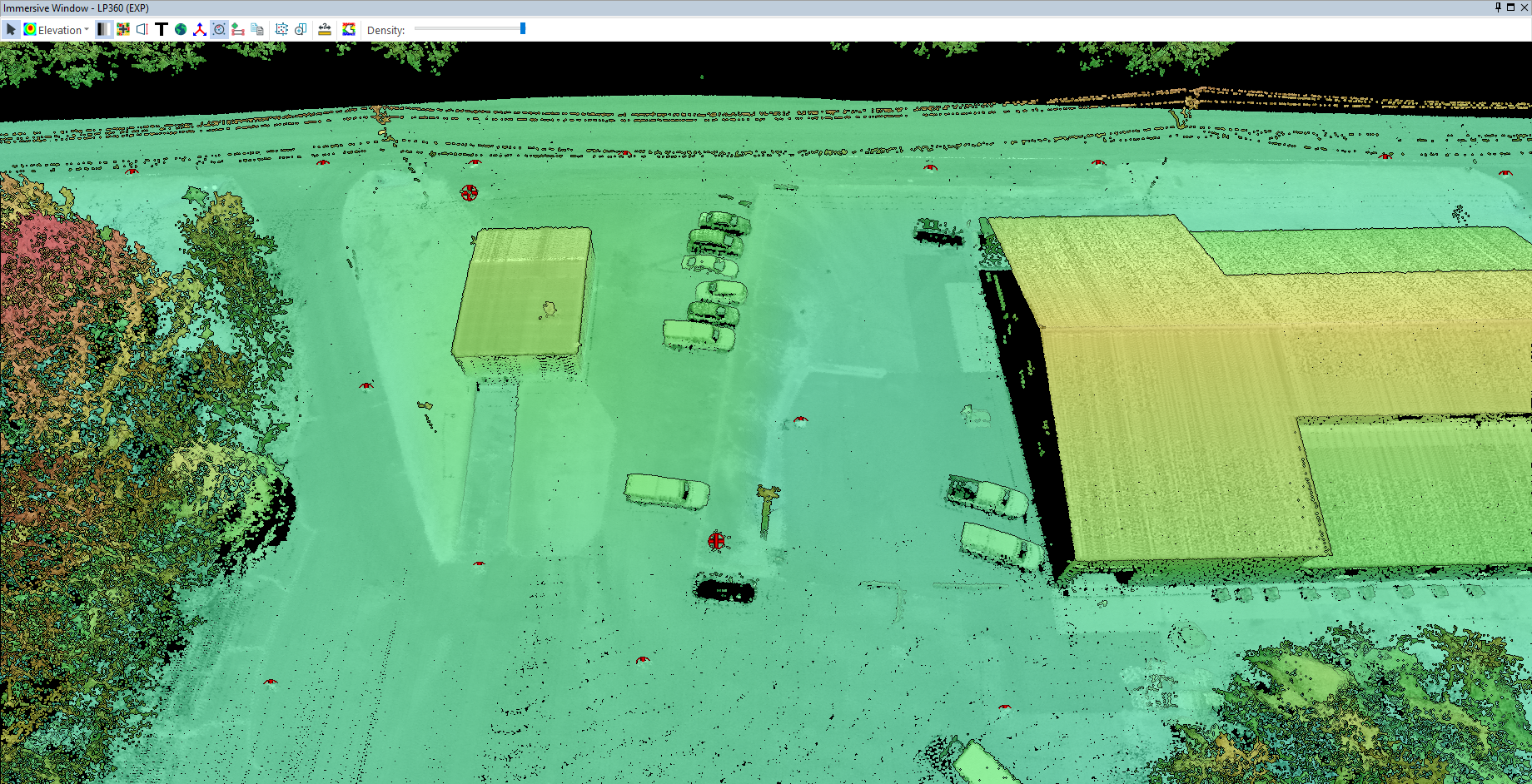
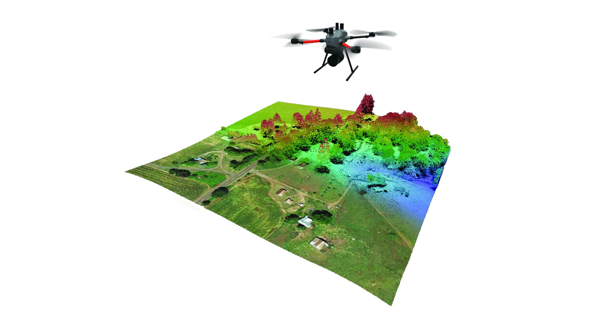
LiDAR Mapping for Utilities and Infrastructure
Capture high-resolution 3D data to support planning, construction, and inspection of pipelines, power lines, and roadways.
Orthomosaic and Aerial Imagery for Documentation
Generate accurate, georeferenced imagery for project tracking, compliance, and visual assessments.
Right-of-Way & Corridor Mapping
Map and monitor linear assets for vegetation management, access planning, and encroachment detection.